KickTheMap Vision – Project Creation
Required: You must own a HaX RTK 2.0 (serial number starting with K) and an iOS smartphone/tablet connected to the internet. The accuracy of KickTheMap Vision is even better with a LiDAR compatible smartphone, mainly iPhone Pros (since iPhone Pro 12).
Important note: A 4G/5G internet connection is still required to use your HaX RTK GNSS receiver.
The KickTheMap vision workflow is split into two parts: Project creation and in-the-field project visualisation.
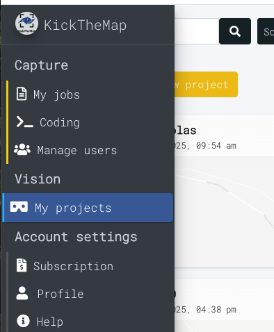
In your my.kickthemap.com platform, you have access to a brand new page called My projects.
You can request access to this page from the KickTheMap team.
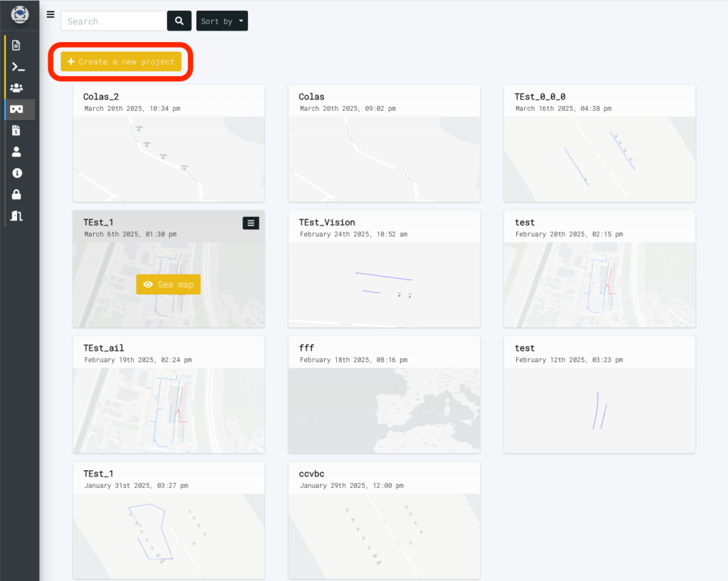
In this page, you can upload the data to be visualised in the field. To do so, click “Create a new project”.
Then, enter a project name, project date (optional, this defines the data’s date), and the coordinate system of your data.
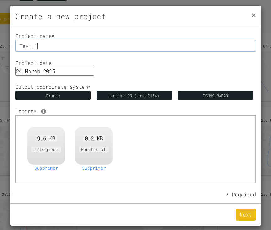
You are now ready to upload your data. You can upload multiple files within the same project. The accepted formats are .DXF (lines, polylines and circles, no blocks or face3D yet ) and .CSV (only points).
On the map, you can easily uncheck the layers that you do not want to visualise in the field.
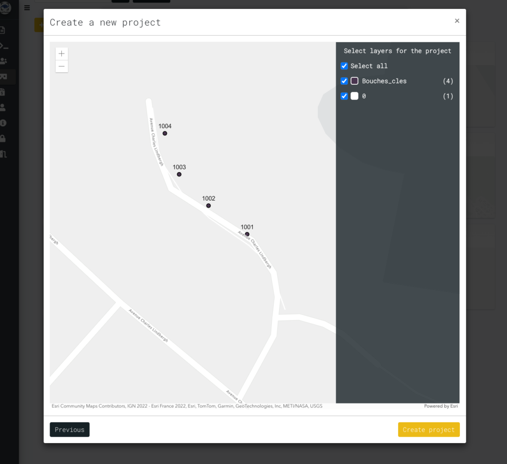
You can now “Create Project”. All your created projects are visible in the projects menu.